
Services
3D Reconstruction
See all around you
3D Reconstruction with drone and ground equipment combines aerial and terrestrial data to create accurate, detailed 3D models of structures, landscapes, or construction sites. This technique uses a series of overlapping photos taken from different angles, which specialized software processes to generate a 3D point cloud or mesh that represents the object or area.
Key Components
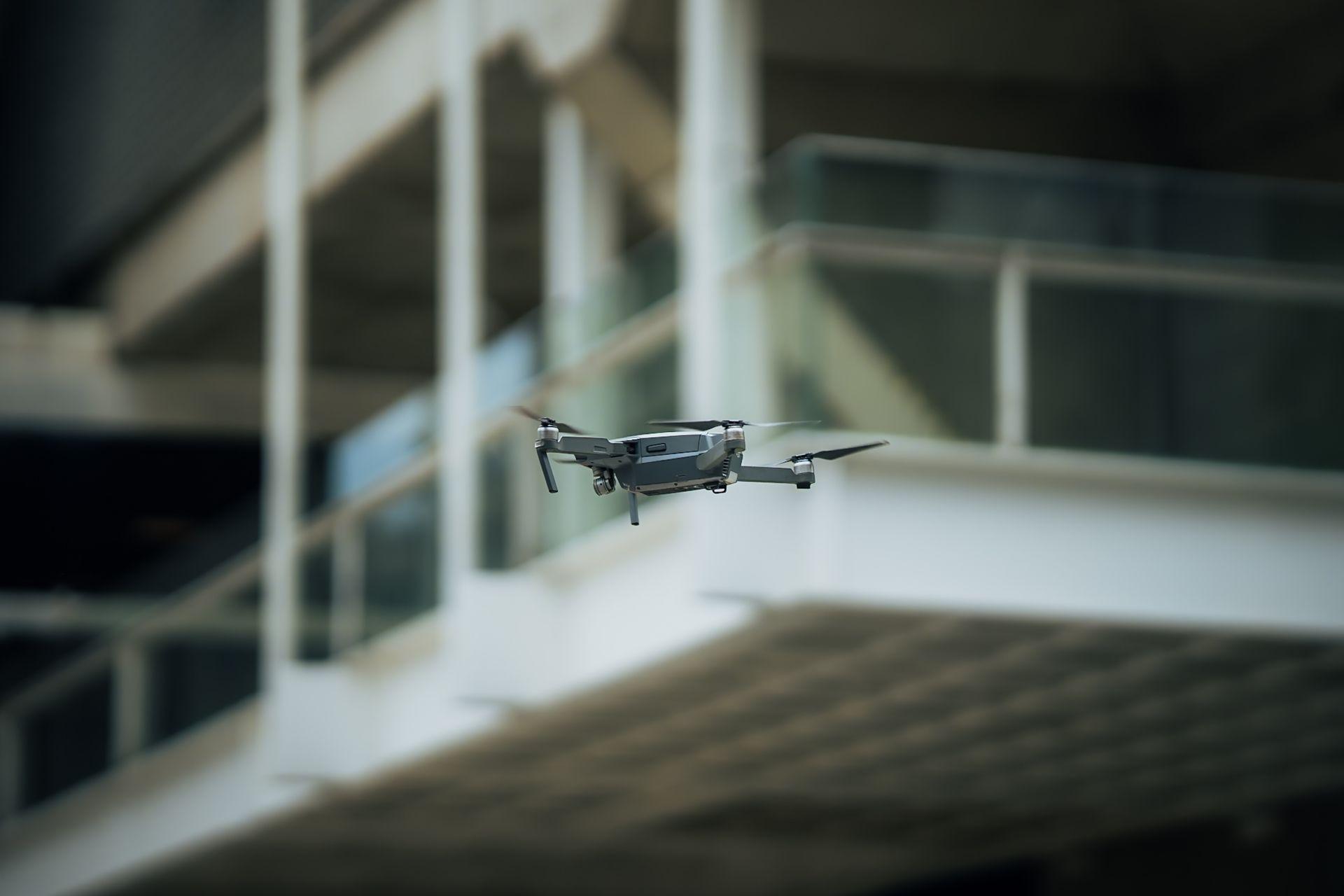
Drones with Cameras
Drones are equipped with high-resolution cameras that capture images from above, covering large areas and providing top-down and oblique perspectives.Ground Cameras and Tripods
Ground-based cameras, often mounted on tripods, are positioned at various points around the site to capture details from angles and locations the drone cannot access closely.GPS and RTK (Real-Time Kinematic) Positioning
For highly accurate mapping, GPS or RTK systems on both the drone and ground cameras can geotag images, helping create models with precise location data.3D Software
3D software processes the images from both aerial and ground perspectives, aligning and stitching them to create an accurate 3D model.
How the process works
- 01
Image Capture
Drone Images: The drone flies a pre-planned route over the area, capturing high-overlap images. These images cover broad, top-down views and oblique (angled) perspectives. Ground Images: Ground cameras are positioned around the site, capturing close-up details, particularly of areas that may lack depth or clarity in aerial images. - 02
Data Integration
The captured images are tagged with GPS or RTK data for accurate location, and the ground and aerial images are fed into 3D software. - 03
Image Processing and Model Creation
The software aligns the images based on their overlaps and GPS coordinates, using algorithms to generate a dense point cloud. From this, it creates a 3D mesh and texture map, producing a realistic and accurate model. - 04
Final Model Output
The final model can be exported as a 3D file for visualization, measurement, or analysis in CAD or BIM software.
Benefits of Using Both Drone and Ground Equipment in 3D Reconstruction
High Detail and Precision
Combining aerial and ground perspectives results in models with finer detail, capturing both large-scale site overviews and intricate, ground-level details.Improved Accuracy
Ground images help resolve areas that may be distorted or occluded in drone images, improving the model’s accuracy.Comprehensive Coverage
This dual approach ensures that all critical angles and details are captured, even in areas that are inaccessible by drone alone, like under overhangs, bridges, or dense vegetation.Real-Time Insights for Construction
Provides construction teams with accurate 3D maps for real-time site analysis, progress tracking, and quality control.
Applications
- Creating accurate models of construction sites for progress monitoring, planning, and quality control.
- Documenting and preserving archaeological sites and historical landmarks in 3D, including detailed textures and geometries.
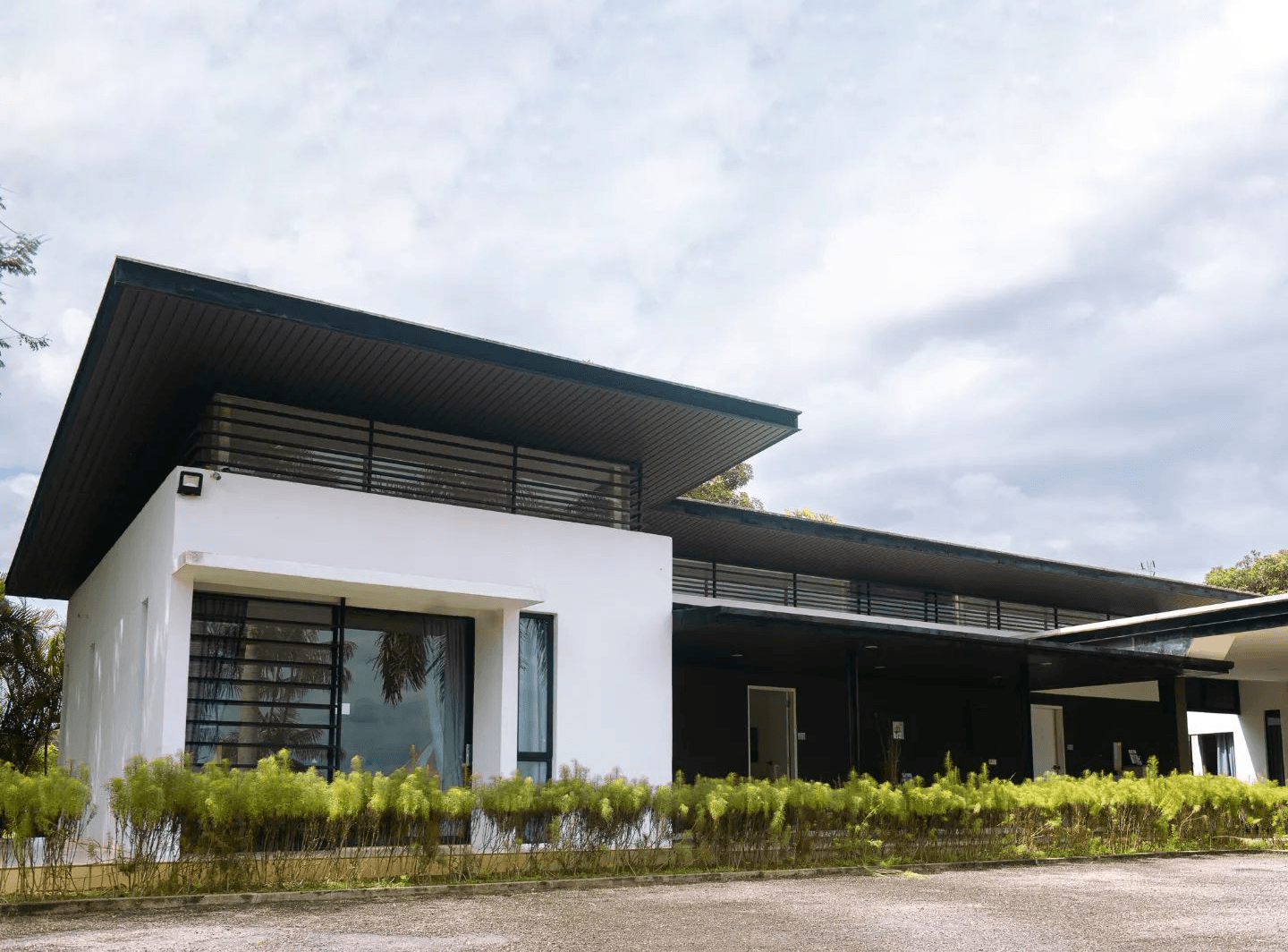
- Developing 3D models of existing buildings and urban environments to plan renovations, extensions, or new developments.
- Mapping terrain changes, erosion, or vegetation growth for ecological studies and land management.


In summary, using both drones and ground equipment in 3D Reconstruction allows for comprehensive, detailed, and accurate models. This hybrid approach is invaluable for projects where high accuracy and a mix of large-scale and close-up details are essential.